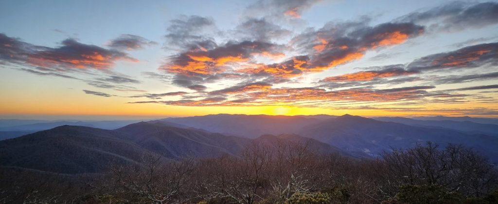
The Long Autumn
Western North Carolina does not rush into autumn. The change arrives in stages, beginning high in late September and rolling slowly into the valleys by early November. The length of this descent is nearly six weeks long and is what makes the region rare. Most places offer a brief two-week window of peak color. Here, the variety of elevation and forest type stretches the season out, giving visitors a chance to chase the color down the mountainside.
The draw is not only natural beauty. Families plan vacations around the leaves. Towns host festivals to match the influx of cars. Photographers return each year to the same overlooks, watching ridges turn red and then brown in sequence. In these mountains, the leaves have become their own economy.
The Science of Color
Every autumn, hardwoods shift because of light and temperature. During summer, chlorophyll fills the leaves and masks other pigments. In fall, cold nights trap sugars in the leaves, and bright days intensify stored pigments. Maples burn red, hickories glow yellow, and oaks finish the cycle in brown and orange.
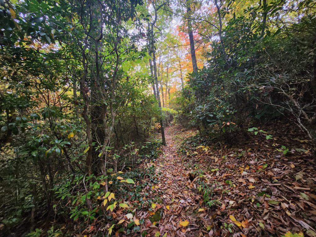
Conditions matter. A warm, wet fall dulls the color, but a dry October sharpens it. The pattern repeats across elevations. Peaks above 6,000 feet begin first. By late September, Mount Mitchell and Clingmans Dome already show red maples. By the second week of October, slopes at 4,000 feet—Graveyard Fields, Craggy Gardens—ignite. Mid-month, Pisgah near Brevard and DuPont State Forest turn. By Halloween, Asheville and Chimney Rock blaze.
The process is so steady that you can track it like a tide. Start high in Boone in late September, follow the Blue Ridge Parkway south, and by the time you reach Cherokee, early November color will greet you.
The Roads
The roads of Western North Carolina are more than routes. They are part of the leaf experience, designed or discovered for their views.
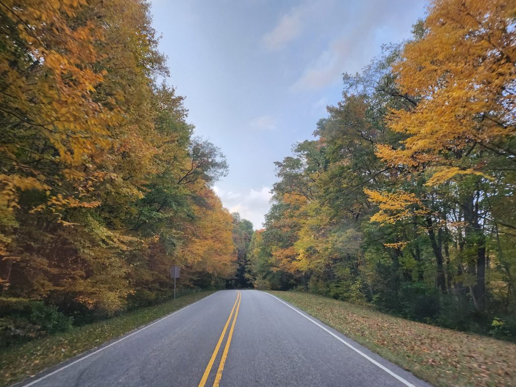
The Blue Ridge Parkway remains central. Stretching 469 miles between Shenandoah and the Smokies, it was built in the 1930s as a scenic project. In fall, it becomes a slow-moving river of cars. Craggy Gardens, north of Asheville, holds lines of photographers at sunset. Waterrock Knob, above Maggie Valley, frames ridges stacking toward the west. Each overlook turns into a stage.
The Cherohala Skyway, climbing from Robbinsville into Tennessee, feels more remote. The road rises above 5,000 feet, with long stretches between pull-offs. It turns early—often in the first week of October—yet remains less crowded than the Parkway.
Newfound Gap Road runs through the Smokies from Cherokee to Gatlinburg. In October, it can be clogged, but it also provides one of the clearest demonstrations of elevation change. Start in Cherokee, watch the red maples climb the slopes, crest at Newfound Gap, and then drop into Tennessee among yellow birches.
Highway 64, the Waterfall Byway, winds past Looking Glass Falls, Bridal Veil Falls, and Cullasaja Falls. Here, the color pairs with constant water. Photographers stop at every turnout, setting up tripods to capture blurred water against bright leaves.
South of Cashiers, Highway 281 leads to Upper Whitewater Falls, the tallest waterfall east of the Rockies at 411 feet. The surrounding forest peaks late, giving one of the last bursts of October color.
Walking Into It
Driving frames the views, but hiking places you inside them.
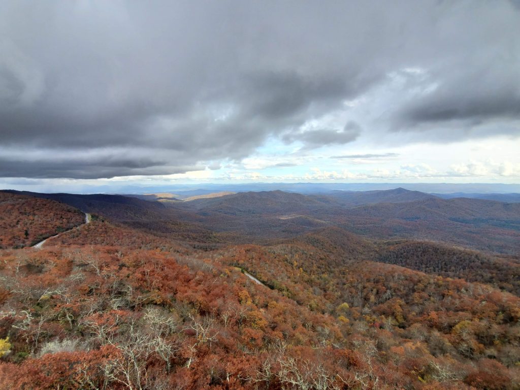
Graveyard Fields, high on the Parkway, often changes first. Blueberry bushes on the valley floor turn scarlet, while maples glow yellow. Families walk to the lower falls, and the creek carries leaves downstream in piles.
Black Balsam Knob, only a short drive away, offers one of the most accessible 360-degree views in the state. The mile-long climb to its bald summit reveals ridges stacked in all directions, each showing different stages of color.
Craggy Gardens, north of Asheville, has a paved trail to an overlook. In October, rhododendron skeletons stand black against red maples.
Farther north, Linville Gorge contrasts with the Parkway’s softness. Known as the Grand Canyon of the East, its cliffs drop 1,400 feet. At Hawksbill Mountain, the gorge spreads below in a patchwork of shifting shades. Table Rock offers a parallel view across the chasm.
In the Smokies, Clingmans Dome rises to 6,643 feet, the highest point in the range. The observation tower, a half-mile hike from the parking lot, provides a 360-degree sweep. Early October here feels like late fall.
Cataloochee Valley, harder to reach, pairs color with wildlife. Elk graze in open fields while ridges glow gold. Arrive before dusk and listen for their bugles.
Pinnacle Park, above Sylva, climbs steeply to a rocky bluff. The view is quieter than the Parkway but no less broad.
Yellow Mountain Fire Tower, near Cashiers, requires stamina: twelve miles round trip, 3,000 feet of gain. The tower itself, restored in recent years, gives a view above every ridge.
Solo travelers planning overnight treks should read our Western NC backpacking guide for safety and gear advice.
Towns and Festivals
Leaf season does not end at the treeline. Towns schedule their calendars around it, drawing visitors who spend mornings on the Parkway and afternoons in small downtowns.

Waynesville’s Apple Harvest Festival closes Main Street each October. Stands sell cider, fried pies, and jars of apple butter. Bluegrass bands play, and local schools host crafts booths.
Maggie Valley’s Elk Fest links with the rut in nearby Cataloochee. Food vendors line the street, and elk-themed art appears in every stall.
Black Mountain’s LEAF Festival gathers musicians from around the world. Tents and hammocks fill the campgrounds, and drum circles echo into the night.
Asheville, larger and busier, celebrates Oktoberfest through its breweries. Highland Brewing pours seasonal ales, and downtown fills with beer tents.
In Highlands and Cashiers, craft fairs line sidewalks with pottery and woodworking, linking leaf season with Appalachian art.
Weather and Photography
Light makes as much difference as pigment.
Morning: Mist rises from valleys, softening edges. Photographers line ridges to catch sunlight striking the tops of trees.
Afternoon: Shadows lengthen, and the light warms. The contrast sharpens the reds and oranges on slopes.
Evening: Sunsets turn ridges gold, with silhouettes stacking into the horizon.
For waterfalls, long exposures blur water into white ribbons against color. Wide lenses capture valleys. Telephoto shots isolate a single maple glowing against pine.
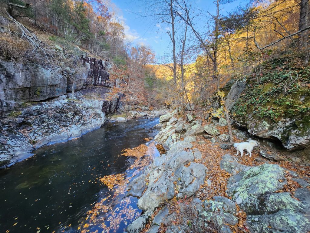
Weather shifts fast in the mountains. A cold front can move peak color a week earlier. A dry spell brightens pigment, while rain mutes it. Local news outlets and park services update forecasts daily in October. Parkway webcams show real-time conditions.
Lodging and Travel
Rooms vanish months in advance. Asheville fills first, followed by smaller towns like Bryson City and Sylva. Those who plan late often turn to cabins or private sites. Hipcamp listings now include yurts and small cabins near trailheads. Our Hipcamp hosting guide explains the growth of these sites.
Traffic is a constant. On peak weekends, the drive from Asheville to Cherokee can take twice as long. Start before 9 a.m. Pack food, since restaurants along the Parkway are limited.
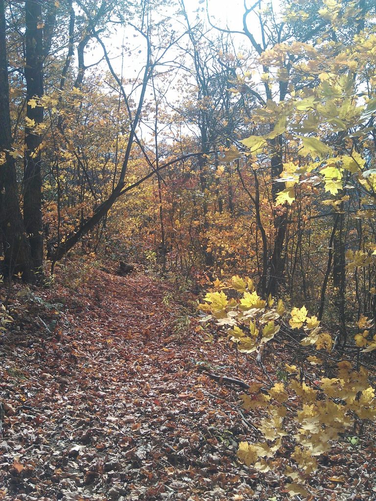
Pack layers. October mornings can be near freezing, afternoons in the 70s. Rain is common. Our wet-weather hiking guide helps prepare.
Sample Routes
Three Days from Asheville
- Day 1: Parkway south to Graveyard Fields and Black Balsam. Dinner in Brevard.
- Day 2: DuPont waterfalls in the morning, Pisgah trails in the afternoon.
- Day 3: Sunrise on Mount Mitchell, stop at Craggy Gardens on the way back.
Four Days in Haywood County
- Day 1: Waterrock Knob overlook, Lake Junaluska loop.
- Day 2: Evening elk in Cataloochee Valley.
- Day 3: Nantahala Byway and Fontana Dam.
- Day 4: Hike Pinnacle Park above Sylva.
Five Days Through the Smokies
- Day 1: Start in Cherokee, drive Newfound Gap Road.
- Day 2: Hike Clingmans Dome in the morning, Laurel Falls in the afternoon.
- Day 3: Drive to Cades Cove, circle the valley, see historic cabins.
- Day 4: Visit Cataloochee Valley for elk and color.
- Day 5: Return along the Parkway, stopping at Waterrock Knob.
Cyclists should check our Pisgah mountain biking trails guide to mix riding with color.
Hidden Corners
Not all leaf viewing happens on the main roads.
Heintooga Round Bottom Road, near Maggie Valley, is a one-way gravel loop through dense forest.
Max Patch Bald, on the Appalachian Trail, gives wide horizons of surrounding ridges.
Cowee Mountain Overlook, near Franklin, frames the Nantahala ranges.
Panthertown Valley, sometimes called the Yosemite of the East, offers cliffs, domes, and waterfalls with fewer visitors.
Some routes cross streams and pools. Our guide to natural swimming holes highlights spots that are just as striking in autumn.
The Long Season
By early November, most high ridges are bare. Yet Asheville still glows with maples, and Lake Lure holds yellow hickories. Families who return each year learn the rhythm: start high, stay patient, and follow the color down.
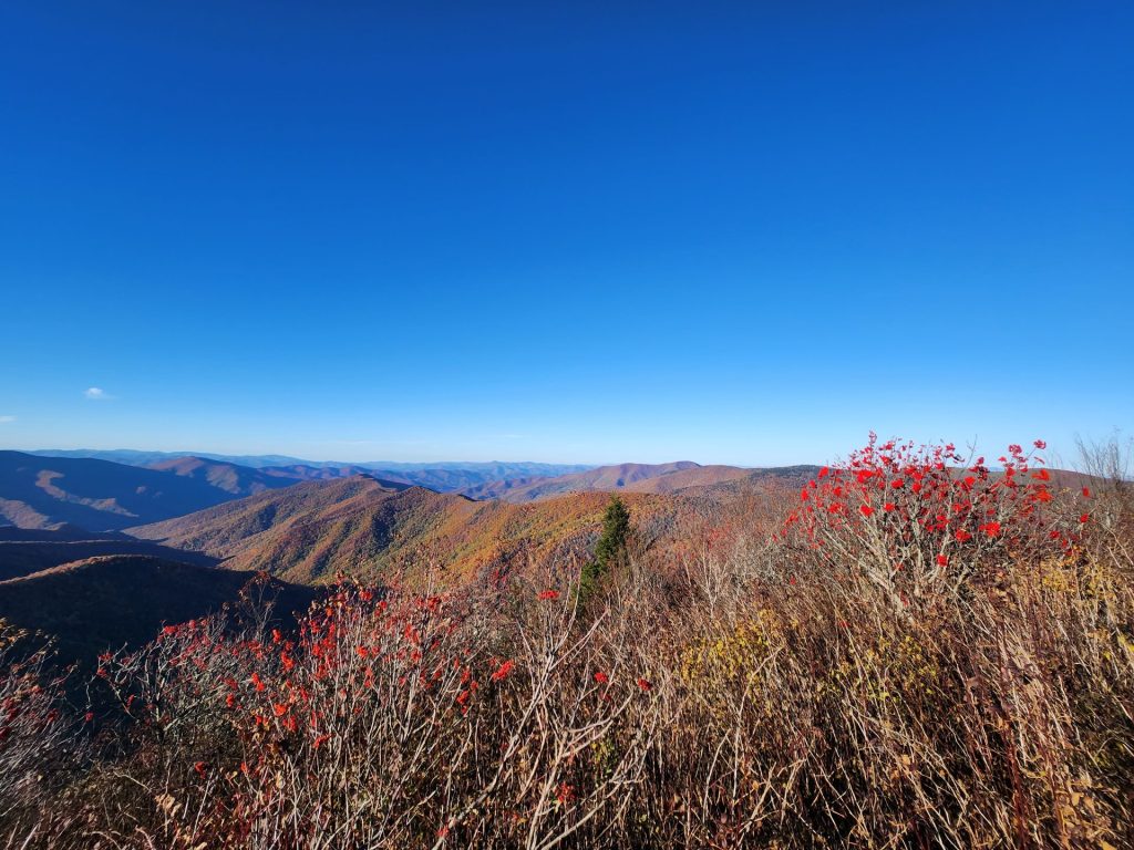
The season has become part of the culture. The Parkway fills with cars, but local towns greet them with festivals and food. Photographers, families, and travelers return every year, knowing that the show will repeat. In Western North Carolina, autumn lingers longer than almost anywhere else.
For more outdoor planning guides, return to the Get Up and Go Camping homepage.




Leave a Reply