Asheville, North Carolina sits just below the ridgeline of the southern Appalachians. Within an hour’s drive, you can hike to windswept balds, climb the highest peak in the East, or stand beneath a 100-foot waterfall. Trails near Asheville cover all skill levels, from family-friendly loops to rugged climbs. This guide breaks down the top ten hikes near the city with real distances, clear trail descriptions, and what to expect on the ground.
1. Craggy Gardens Trail
Distance: 1.9 miles round trip
Difficulty: Moderate
Drive time from Asheville: 40 minutes via Blue Ridge Parkway
Craggy Gardens feels like a fantasy forest. The trail begins at Craggy Pinnacle Overlook and winds through a twisted grove of birch and beech. In June, pink rhododendrons burst into bloom. Even on hot days, the high elevation keeps things cool. A stone shelter near the summit provides shade and a view that stretches into Tennessee. This trail is short but memorable, especially in spring and fall.
2. Mount Mitchell Trail
Distance: 11.4 miles round trip
Elevation gain: 3,600+ feet
Difficulty: Strenuous
Drive time from Asheville: 1 hour
Mount Mitchell stands at 6,684 feet. It’s the tallest mountain east of the Rockies. The trail starts near Black Mountain Campground and climbs steadily through hardwood forest before entering the spruce-fir zone. These high-elevation evergreens give the summit a northern feel. Temperatures often drop 20 degrees from base to top, and clouds can roll in fast. The trail is well-marked but steep. It’s a serious hike, but the view from the summit tower is worth it.
3. Black Balsam Knob & Tennent Mountain Loop
Distance: 5 miles
Difficulty: Moderate
Drive time from Asheville: 1 hour 15 minutes
This loop on the Art Loeb Trail offers some of the best views in Western North Carolina. The trail climbs quickly to treeless summits called “balds.” From Black Balsam and Tennent Mountain, hikers get full-circle views of the Shining Rock Wilderness and far ridges beyond. The trail is rocky in places but easy to follow. Go early or on weekdays to avoid crowds. Fall color here peaks in early October.
4. Graveyard Fields Loop
Distance: 3.2 miles
Difficulty: Easy to moderate
Drive time from Asheville: 1 hour
Graveyard Fields sits off milepost 418 on the Blue Ridge Parkway. Despite the spooky name, this is one of the friendliest hikes near Asheville. The loop passes two waterfalls, boardwalks, and flat stretches filled with wildflowers. In July and August, people come to pick blueberries. The trailhead has restrooms and a map kiosk. It’s a solid option for kids, dogs, or visitors adjusting to mountain terrain.
5. Max Patch Summit
Distance: 1.5 miles round trip
Difficulty: Easy to moderate
Drive time from Asheville: 1 hour 20 minutes (mostly paved, last miles gravel)
Max Patch is a wide, grassy knob along the Appalachian Trail. It was once cleared for pasture and now offers an open dome with clear views in all directions. From the top, you can see Mount Mitchell to the east and the Smokies to the west. People come here for picnics, sunrise hikes, or clear-night stargazing. Campfires and overnight camping are now restricted to protect the area, so check regulations before you go.
6. Looking Glass Rock Trail
Distance: 6.5 miles round trip
Difficulty: Strenuous
Elevation gain: 1,700 feet
Drive time from Asheville: 1 hour
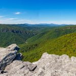
This trail climbs through mixed hardwood forest to a broad granite outcrop. The summit isn’t a peak but the curved “face” of Looking Glass Rock. On clear days, you’ll see the Blue Ridge Parkway winding across distant ridges. The top has no rails, so be cautious near the edge. The trail is well-used but not crowded on weekdays. It’s a good year-round hike, but avoid icy conditions in winter.
7. Catawba Falls Trail
Distance: 3 miles round trip
Difficulty: Easy to moderate
Drive time from Asheville: 30 minutes
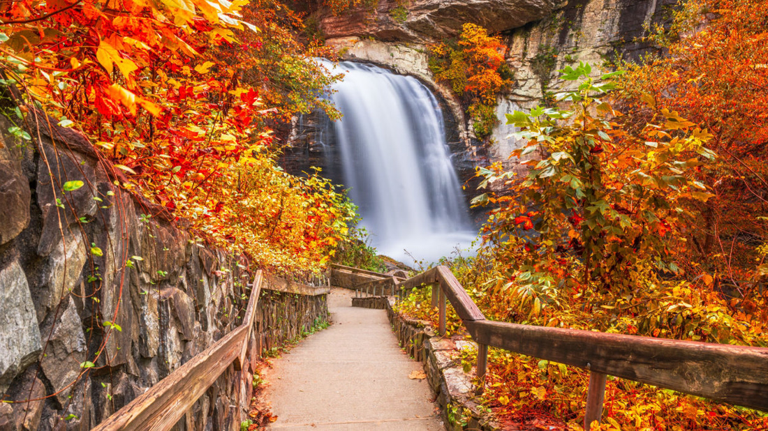
This trail reopened recently after major improvements by the Forest Service. It follows a gentle grade along the Catawba River and ends at a tall, two-tiered waterfall. The new bridges and stone steps make this hike safer, but it still feels wild. It’s a good choice for families or anyone looking for a scenic stroll without a steep climb. Spring and early summer bring the best water flow.
8. Linville Falls Trail
Distance: 1.6 miles round trip
Difficulty: Moderate
Drive time from Asheville: 1 hour 30 minutes
Linville Falls is the most photographed waterfall on the Blue Ridge Parkway, and for good reason. The trail from the visitor center leads to multiple overlooks, including Erwin’s View and Chimney View. Each stop gives a different angle on the falls and the deep gorge below. The trail is paved for part of the way, making it accessible to many. Beyond that, the climb gets steeper but stays manageable.
9. Rattlesnake Lodge Trail
Distance: 3.8 miles round trip
Difficulty: Easy to moderate
Drive time from Asheville: 20 minutes
This trail begins on Ox Creek Road and follows the Mountains-to-Sea Trail to the site of a historic lodge built in 1904. You’ll find old chimneys, stone steps, and a mossy swimming pool—all being slowly reclaimed by the forest. The hike is steady but not steep, and the forest stays green even in summer heat. It’s a quiet spot close to town.
10. Art Loeb Trail (Full + Section Hikes)
Distance: 30.1 miles point-to-point
Difficulty: Strenuous
Drive time to trailheads varies
The full Art Loeb Trail is one of the most challenging and scenic backpacking routes in the region. It starts near the Davidson River Campground and ends at Daniel Boone Camp. The route includes Shining Rock, Black Balsam, and Cold Mountain. Most hikers break it into sections. The stretch from Black Balsam to Deep Gap is especially popular for day hikes. Bring maps, water, and weather gear. Even short sections can feel remote.
Trail Tips for Asheville Hikers
- Weather shifts fast. Many of these trails gain elevation quickly, so always pack a rain layer, even in summer.
- Parking fills up. Craggy Gardens, Black Balsam, and Graveyard Fields often fill by mid-morning on weekends.
- Leave no trace. Stick to the trail, pack out trash, and respect closures.
- Trail apps help. Use AllTrails or Gaia GPS for up-to-date maps and conditions.
Asheville isn’t just a mountain town. It’s a trailhead to some of the East’s most rewarding hikes. Whether you’re after a peaceful forest walk or a tough summit climb, you’ll find a trail that fits your pace. The Blue Ridge gives back what you put in—every mile, every view, every step.



Leave a Reply